TSAVO RESERVE The Tsavo National Park was gazetted on 1 April, 1948 as Kenya’s 2nd National Park – after tsavorobi National Park. The Tsavo National Park ecosystem covers an area of 20, 812km2 and is the biggest park in Kenya and notably one of the largest game sanctuaries in the world. The park was established in 1948, but later split to Tsavo East and Tsavo West parks for administrative purposes.
The railway line built by the British colonial government then was used as the boundary. Tsavo east was used as a hunting ground for the local communities, the Kamba and Waliangulu. In 1848, the first white man to see Mount Kenya, Dr. Krapf journeyed on foot throughout the park on his way to Kitui, crossing the Tsavo River.
In 1898, construction of the railway river reached the Tsavo River, and at this time the legendary man eating lions of Tsavo killed over 130 railay construction workers until Col. J.H.Patterson stopped the carnage. The British army constructed fortresses along the Tsavo River in the wake of the World War I when Germans from Tanganyika (now Tanzania) threatened to bomb the bridge at River Tsavo in order to dismantle communication.
The Luggards falls is named after a European explorer, Fredrick Luggard who on his way to Uganda made a stop over at the spot where river Athi changes to Galana.
TSAVO WEST NATIONAL PARK
Location: Situated in coast province, on the South Eastern part of Kenya, on the western highway of the tsavorobi Mombasa Road, 240 km from tsavorobi.
Size: Covers an area of about 9,065 km2 about 30% of the entire Tsavo ecosystem.
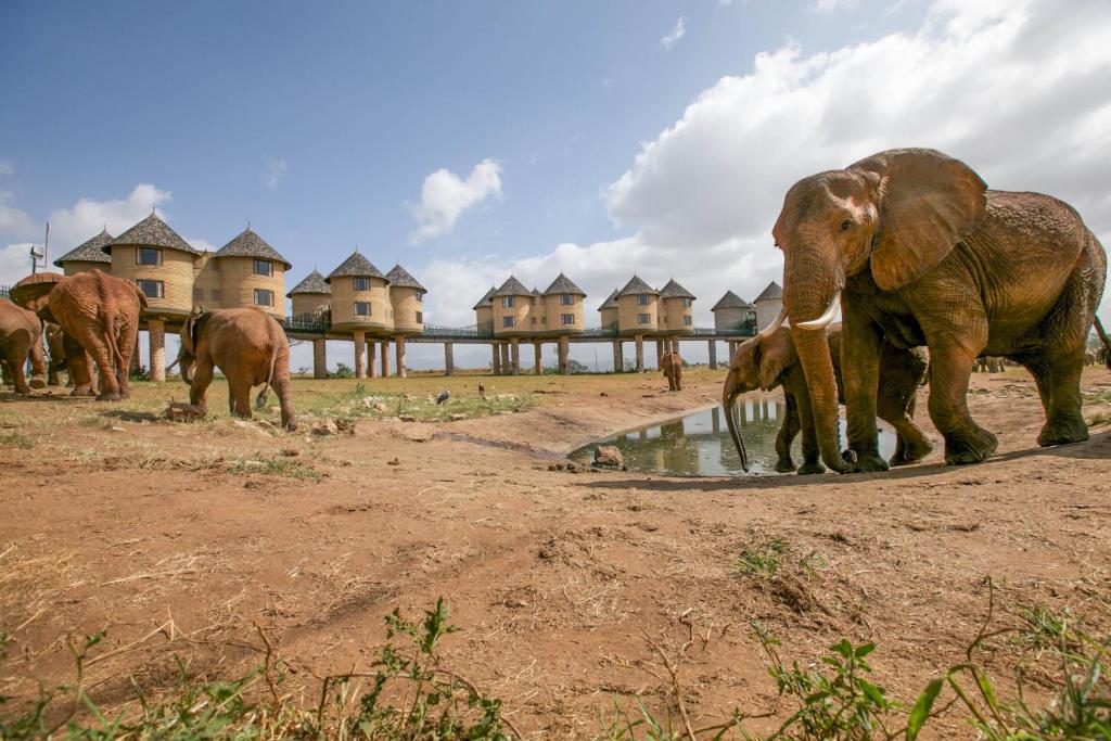
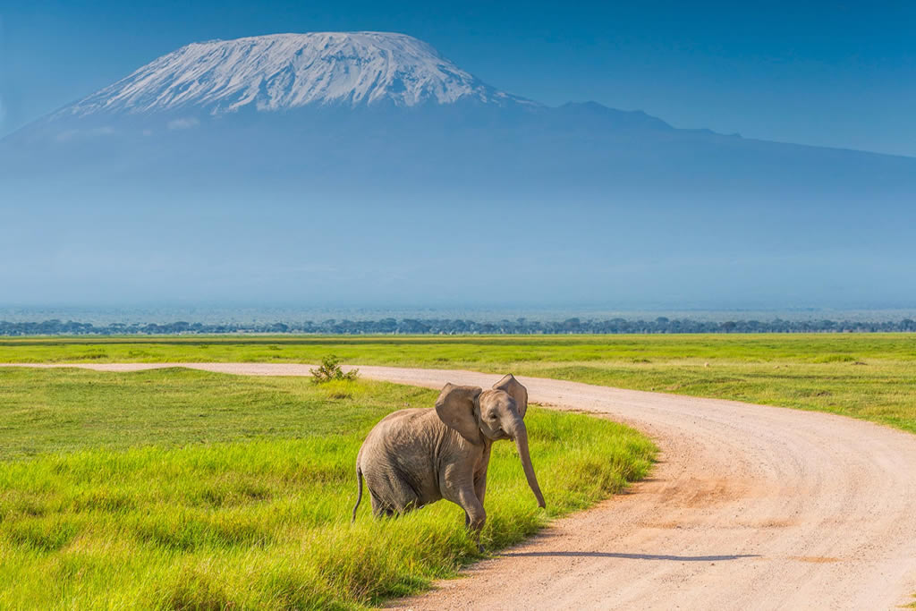
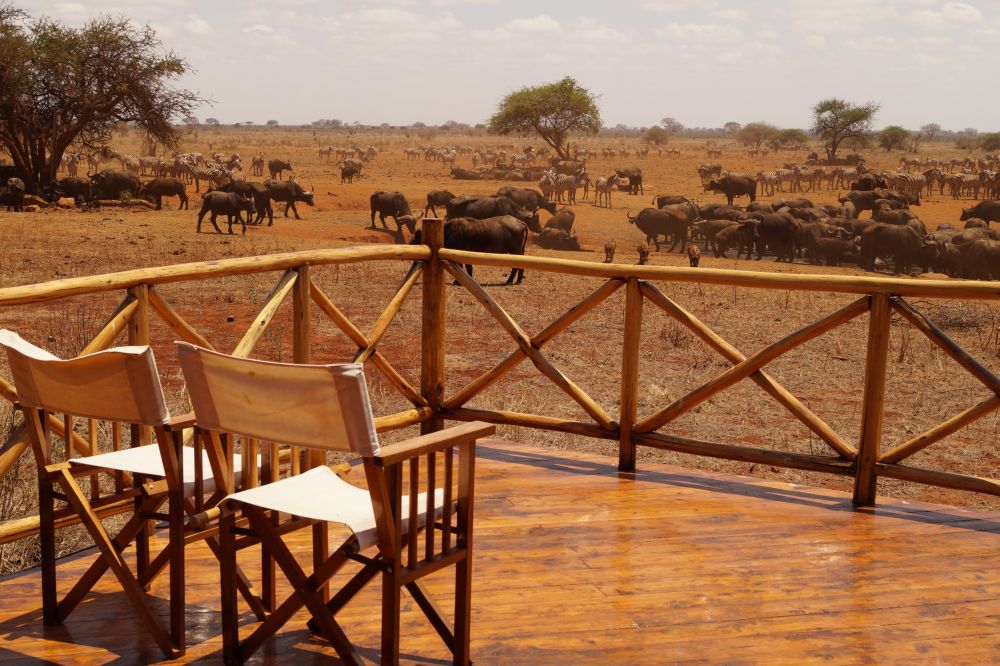
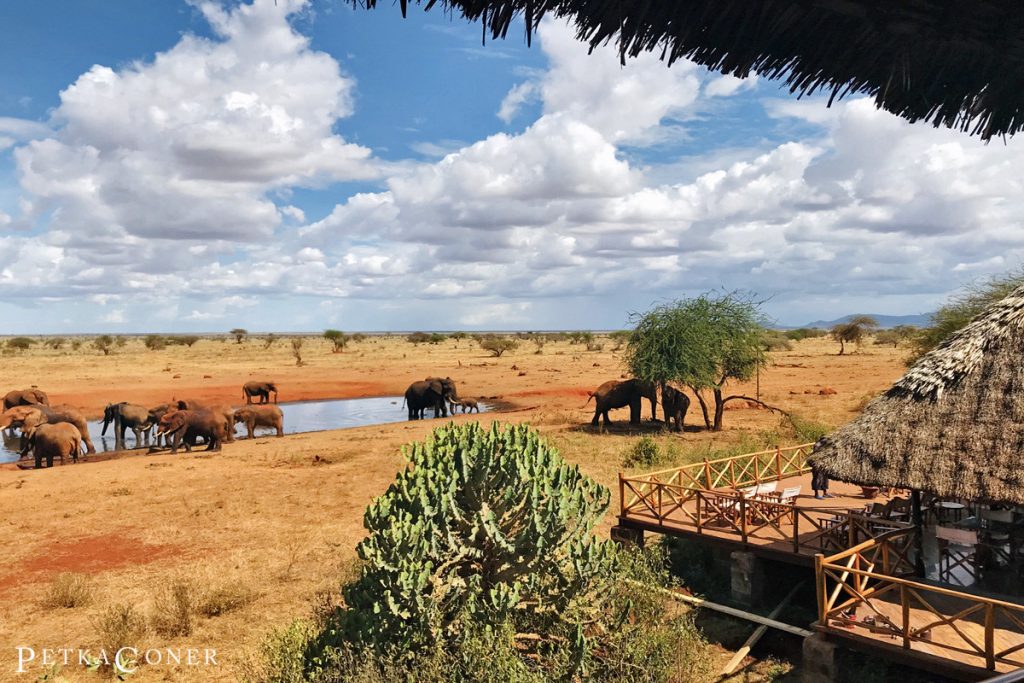
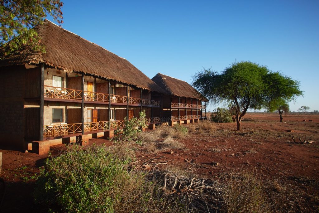
Geography/Habitats: Tsavo West is more popular on account of its magnificent scenery, rich and varied wildlife and a good road system. The park’s habitats include open plains alternating with savannah bush and semi desert scrub, acacia woodlands; rocky ridges and outcrops and more extensive ranges and isolated hills; belts of riverine vegetation; palm thickets and on the Chyulu hills, mountain forest. There are numerous rocky outcrops and ridges and part of the park, towards the Chyulu Hills. In the far south-western corner on the Kenya Tanzania border is Lake Jipe, part of which is in the park. There are only two permanent rivers in this vast area, the Tsavo, which begins its life on Mount Kilimanjaro and is greatly supplemented by a huge underground river flowing from Mzima Springs and the Athi in Tsavo East, which begins near tsavorobi. Mzima springs are replenished by underground streams that flow from the nearby Chyulu Hills and are a great wildlife attraction. Mzima is also the main source of Mombasa’s water supply.
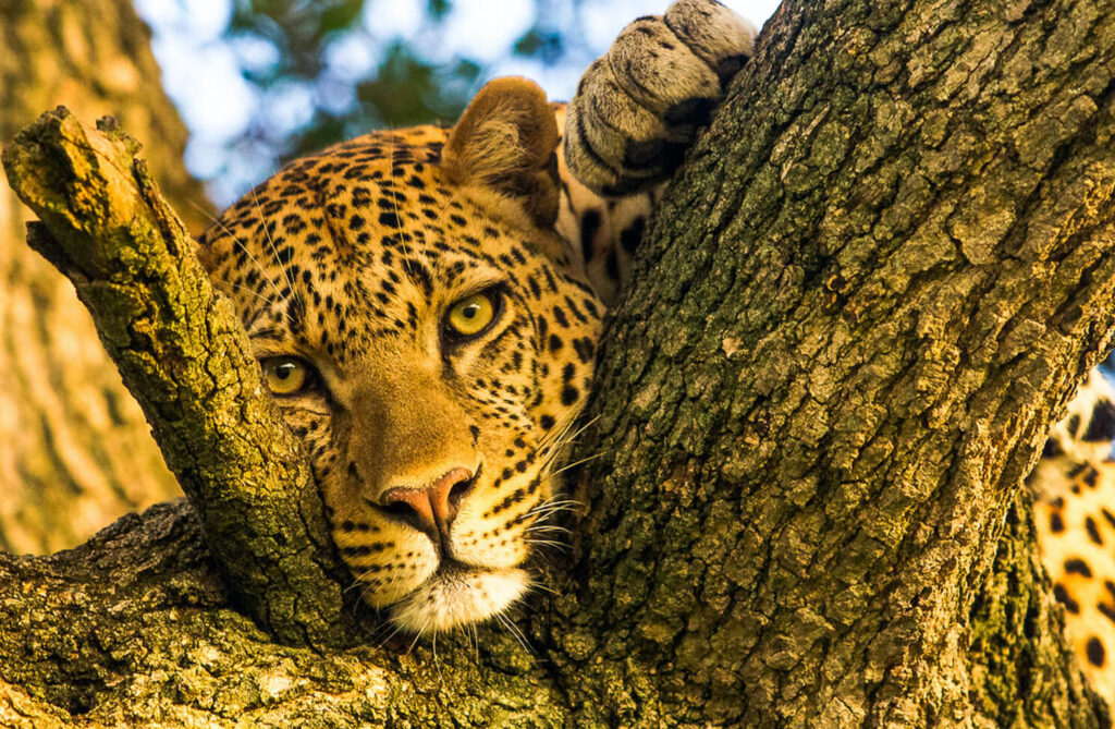
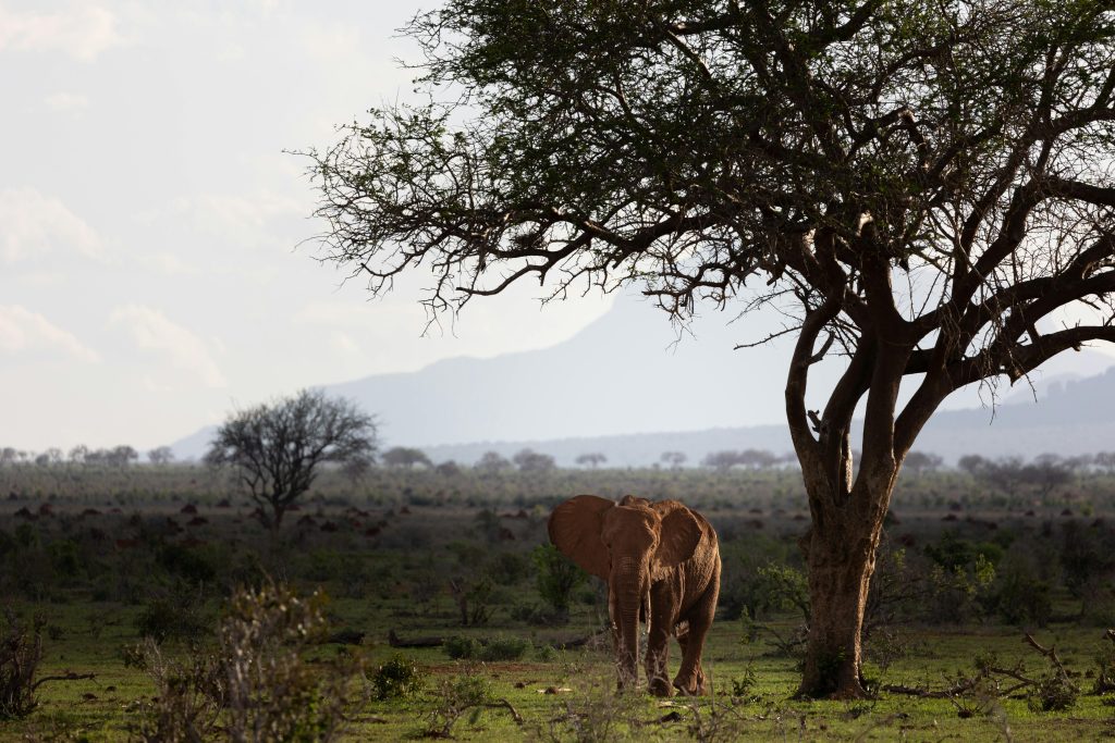
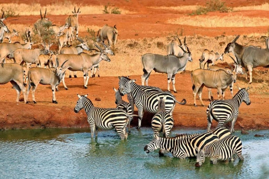
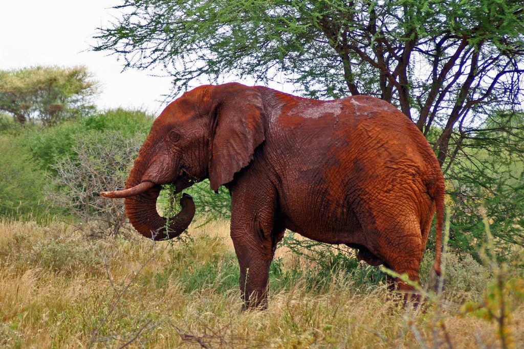
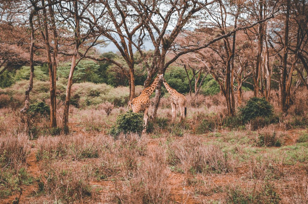
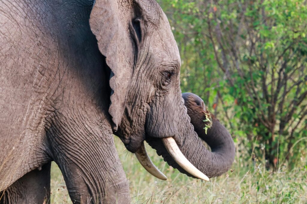
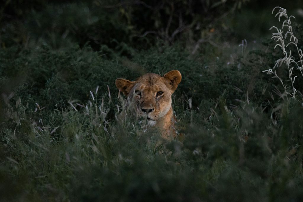
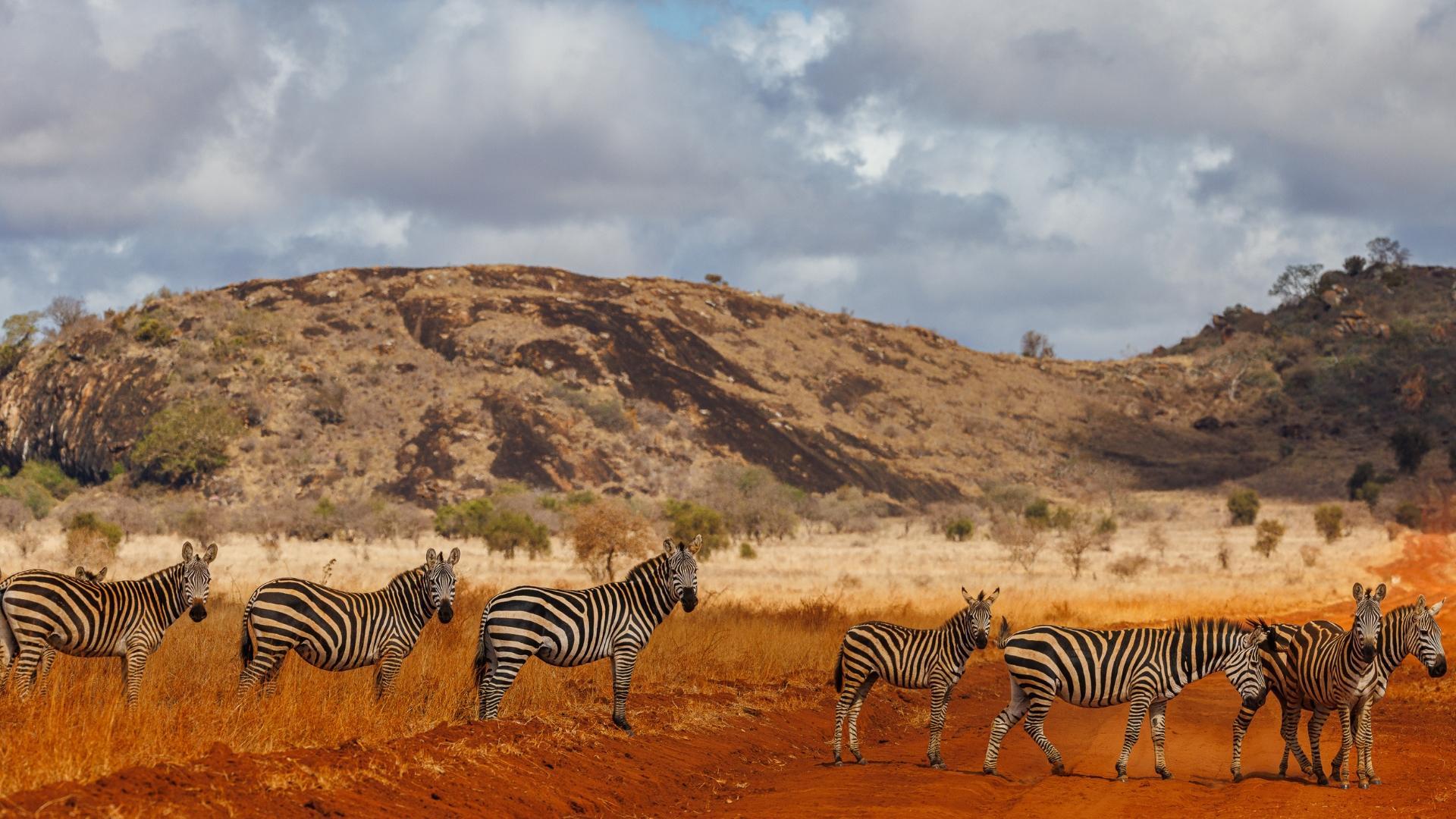
Animals: leopard, cheetah, buffalo, rhino, red skinned elephant, giraffe, zebra, mongoose, hyrax, dik-dik, lesser Kudu, and Nocturnal Porcupine. There are over 600 bird species.
Of Interest: Game viewing, Camping, Cave exploration, Underwater Hippo and fish watching, Caving at the Shetani caves
TSAVO EAST NATIONAL PARK
Location: Lies on the eastern side of the tsavorobi Mombasa road, 240 km from tsavorobi, South East Kenya, inland from the Coast. Size: 13,747 km2
Geography/Habitats:
The park is more arid than its Eastern counterpart, with arid bush and rock outcrops, such as the Mudanda Rock outcrop, 1.6 km long. The spectacular Yatta plateau, about 290 km long spills its lava flows into this park. A series of rapids, popularly known as Lugards Falls on the Galana River meander through the park. The Athi River, that begins from tsavorobi, flows through the park.
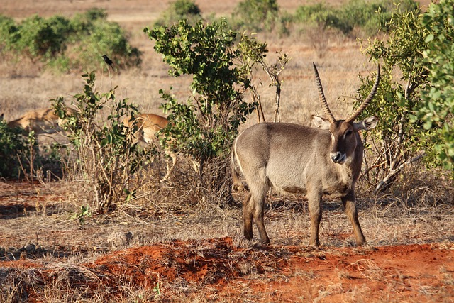
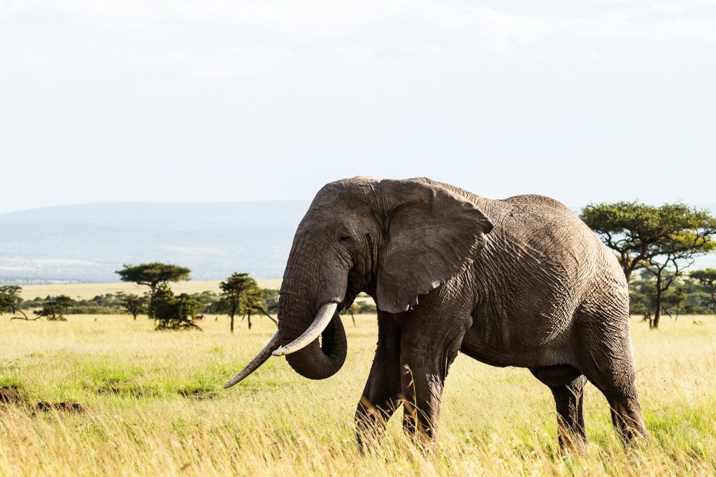
Animals: The Park is home to most of the larger mammals,the red skinned elephants,rhino, buffalo, lion, leopard, hippo, crocodile, waterbucks, lesser kudu, gerenuk and hirola. There are over 500 bird species in the park.
Of interest: Game viewing, Camping, Trekking, Bird watching